When volcanic ash from Iceland’s Eyjafjallajökull volcano drifted over Europe in April 2010, nearly 100,000 flights were canceled over eight days — stranding 10 million passengers and costing the global airline industry an estimated $5 billion. Now, a revolutionary forecasting system developed by the Met Office is designed to prevent a repeat. On July 1, 2025, the London Volcanic Ash Advisory Centre — the UK’s official hub for monitoring volcanic ash in the North Atlantic — launched its Quantitative Volcanic Ash (QVA) forecasting service. By November 27, 2025, every one of the nine global Volcanic Ash Advisory Centres will be required to follow suit under International Civil Aviation Organization (ICAO) mandates. The goal? Cut future disruption by 50% — and keep planes flying safely where they once would have been grounded.
From Guesswork to Precision
Before QVA, aviation authorities relied on crude, broad-brush warnings: ‘Ash detected in this zone — close everything.’ The 2010 eruption exposed how outdated that approach was. Pilots couldn’t distinguish between harmless trace particles and dangerous concentrations. Airlines, caught in the dark, shut down entire regions — from Scotland to Sicily — just to be safe. Now, the Met Office delivers data on ash concentration across 12 distinct atmospheric layers, from ground level up to 60,000 feet. That’s four times the vertical resolution of previous models. And it’s not just more detail — it’s smarter detail.
The system runs on the Numerical Atmospheric-dispersion Modelling Environment (NAME), fed by real-time meteorological data from the Unified Model. It incorporates eruption specifics: plume height, ash volume, particle size, timing. But here’s the twist: it doesn’t just predict one outcome. It runs 18 different scenarios simultaneously using the MOGREPS-G ensemble system, giving forecasters a probability map — not a single guess. ‘We’re not saying ash will be here,’ says Karen Shorey, Met Office aviation specialist. ‘We’re saying there’s a 72% chance ash exceeds 2 mg/m³ at 30,000 feet over northern Norway by 18:00 UTC. That’s actionable.’
How It Works: Data, Models, and Real-World Feasibility
The QVA service pulls in live data from satellites, ground-based LIDAR, and aircraft sensors. These aren’t just inputs — they’re constantly fused with NAME’s predictions, like a live calibration. The result? Three key outputs airlines can use:
- Expected Ash Concentration: A 3D grid showing exact ash levels, updated every three hours.
- Probability Forecasts: Likelihood of exceeding safety thresholds (e.g., 2 mg/m³ or 4 mg/m³).
- Confidence Guidance: A clear rating on forecast reliability — high, medium, low.
This isn’t theoretical. Modern jet engines — certified since 2023 under revised ICAO standards — can now safely operate in environments with ash concentrations below 4 mg/m³. That’s a game-changer. In 2010, any visible ash meant grounding. Today, if the model says ash is at 1.5 mg/m³ over the North Sea? Airlines can reroute, not cancel. ‘It’s not about avoiding all ash,’ Shorey adds. ‘It’s about avoiding dangerous ash.’
Global Rollout and the Iceland Factor
The London VAAC, based in Exeter, covers the most volatile corridor on Earth: Iceland and the northeastern North Atlantic. That’s where 2010 happened. And it’s where the next eruption will likely happen. To ensure continuity, the London VAAC maintains a live backup with Météo-France’s Toulouse VAAC — a partnership forged after the 2010 chaos revealed dangerous single-point failures.
By November 27, 2025, all nine VAACs — from Tokyo to Washington, D.C. — must adopt QVA. The remaining seven will follow by November 27, 2026. This isn’t optional. ICAO’s mandate reflects a hard lesson: aviation can’t afford to wait for another 2010. And the cost savings? Even a 30% reduction in cancellations could save airlines over $1.5 billion annually.

Why This Matters Beyond the Skies
Volcanic ash isn’t just an aviation problem. It affects global supply chains, medical transport, military operations, and even insurance models. The QVA system’s probabilistic approach — showing risk, not just presence — is now being studied by meteorologists for wildfire smoke forecasting and nuclear plume modeling. It’s a new paradigm: uncertainty quantified, not ignored.
‘We used to close airspace like a light switch,’ says Dr. Elias Morgan, an atmospheric scientist at the University of Reading. ‘Now we’re dimming it. That’s a revolution in risk management.’
What’s Next?
The next test comes this fall. Iceland’s Grimsvötn volcano, historically more active than Eyjafjallajökull, is showing signs of increased seismic activity. If it erupts, the QVA system will be under real-world pressure. The Met Office says it’s ready. Airlines are already training their operations teams on the new data dashboards. And passengers? They’ll likely notice something new: fewer cancellations, more direct flights, and a quiet confidence that when a volcano awakens, the skies won’t shut down — they’ll adapt.
Frequently Asked Questions
How is QVA different from the old volcanic ash forecasts?
Old forecasts gave broad, binary warnings: ‘ash present’ or ‘ash absent.’ QVA delivers precise, three-dimensional ash concentration levels across 12 atmospheric layers, with probability estimates for each. It tells airlines not just if ash is there, but how much, where it’s likely to drift, and how confident the prediction is — enabling smarter, targeted reroutes instead of blanket closures.
Why does the 2010 Eyjafjallajökull eruption still matter today?
That eruption grounded 10 million passengers and cost airlines $5 billion in just eight days. It exposed how unprepared global aviation was for even moderate volcanic activity. QVA was built specifically to prevent a repeat — and it’s the first system to align aviation safety rules with actual engine performance data, not just theoretical risk.
Which airlines benefit most from QVA?
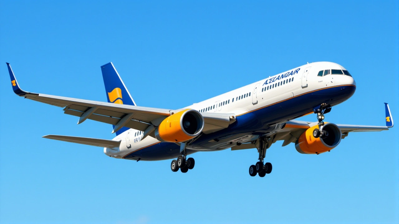
Carriers flying transatlantic routes — especially those connecting North America and Europe — benefit the most. Iceland sits directly on the major flight corridor between the two continents. With QVA, airlines like British Airways, Icelandair, and Delta can now reroute around high-risk zones instead of canceling entire fleets. Smaller regional operators also gain flexibility during minor eruptions.
Can QVA predict eruptions before they happen?
No — QVA only models ash dispersion after an eruption begins. It relies on eruption source parameters like plume height and ash volume, which come from satellite and ground monitoring. But by integrating real-time data within minutes, it can update forecasts faster than ever — often before ash reaches major air corridors, giving airlines critical lead time.
Is the QVA system available to the public?
The full QVA datasets are provided free of charge to airlines, air traffic control agencies, and government aviation authorities. Public access is limited to simplified graphical summaries on the Met Office website, but the detailed 3D models and probabilistic outputs are restricted to aviation safety operators to prevent misinterpretation.
What happens if the London VAAC goes offline?
The London VAAC has a live, real-time backup with the Météo-France’s Toulouse VAAC. If one system fails, the other immediately takes over without interruption. This redundancy was mandated after the 2010 crisis revealed how vulnerable single-center systems were to technical or staffing failures.